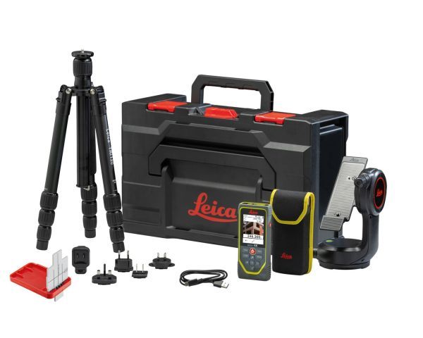
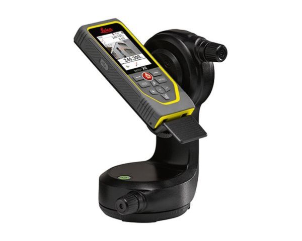
 Disto X6
LEICA
Disto X6
LEICA
750,00€ VAT NOT INCLUDED
Add
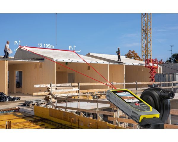
The combination of the DISTO X6 and the Leica DST 360-X adapter enables the use of P2P technology, allowing distances to be measured between two points or complex areas from a safe location, even in inaccessible areas. Subsequently, the results can be downloaded as well-organized DXF files and processed in any CAD software. Additionally, it's possible to visualize the data in the DISTO Plan app, allowing for direct on-site reference to missing points. This aids in the digitization process, streamlines workflows, saves money, and prevents errors.
Measuring in an image
It has never been so easy to determine the width, height, area, and even the perimeter o fan object. Just one measurement at the correct angle is enough.
Once taken, simply align the two arrows on the screen with the points required in the measurement image, and the result will be displayed. The 4 x zoom of the Pointfinder makes measuring objects, even at long distances, a simple task.